Tuesday 6th May 2025
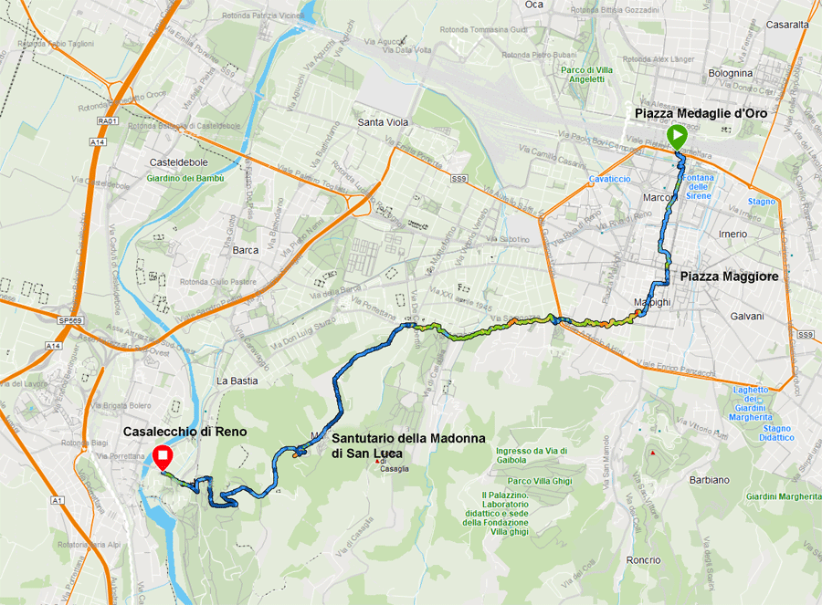
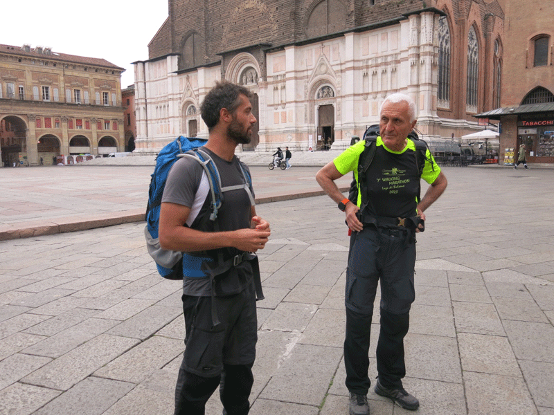
From my overnight accommodation B&B Aurelia it was a short walk to Piazza Medaglie d'Oro, in front of Bologna Central Station, where I was due to meet the group and guide Gianluca Maini at 8 am prompt. Ermes was already there when I arrived, and the others soon came one by one. After a short walk we passed our overnight bags to a Appennino Slow staff member to be taken by car each day to our destination hotel and then we were off.
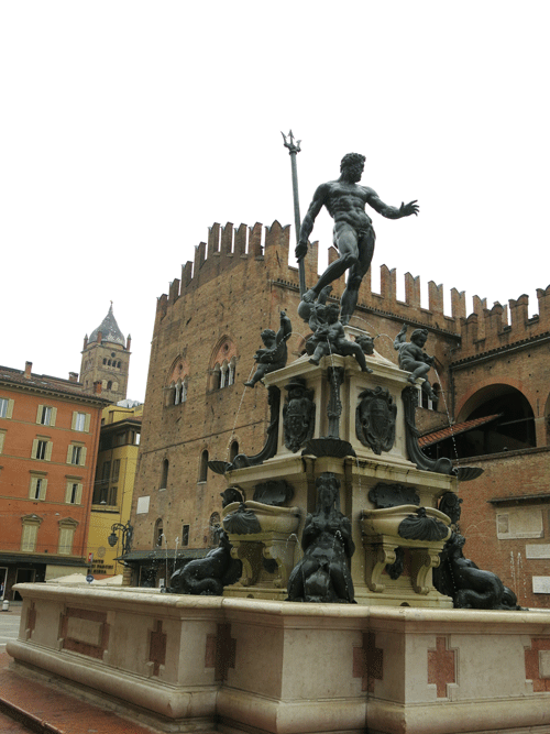
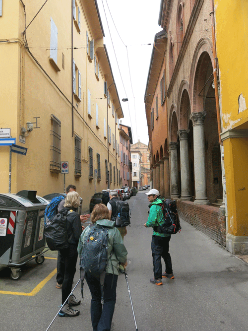
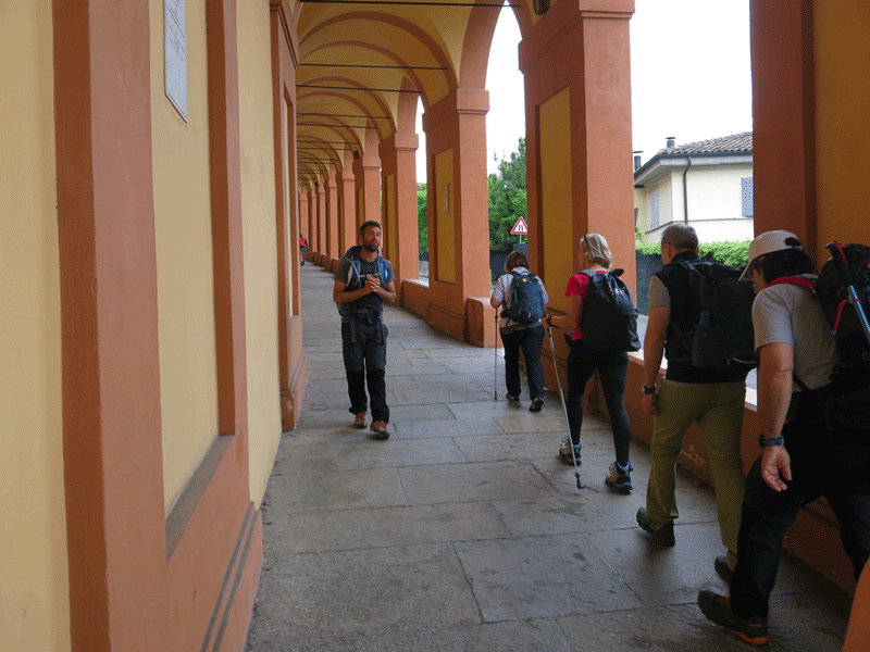
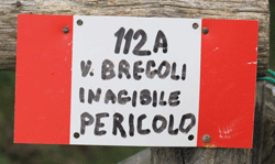
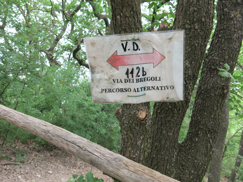
We headed to the cathedral square Piazza Maggiore and then up the 4 km long portico walk to Santutario della Madonna di San Luca. From here we dropped down to the Parca della Chiusa. The original path down has been closed for some time due to a landslide, and we took the new variant.
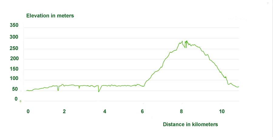
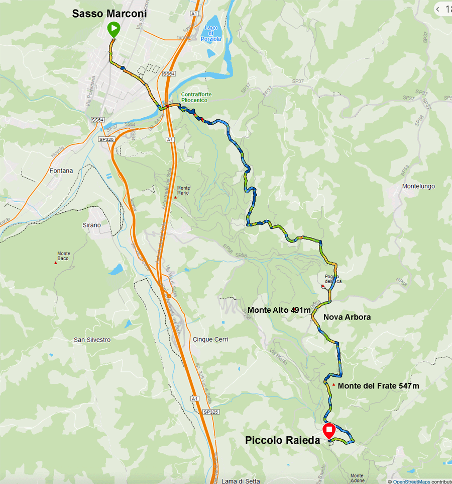
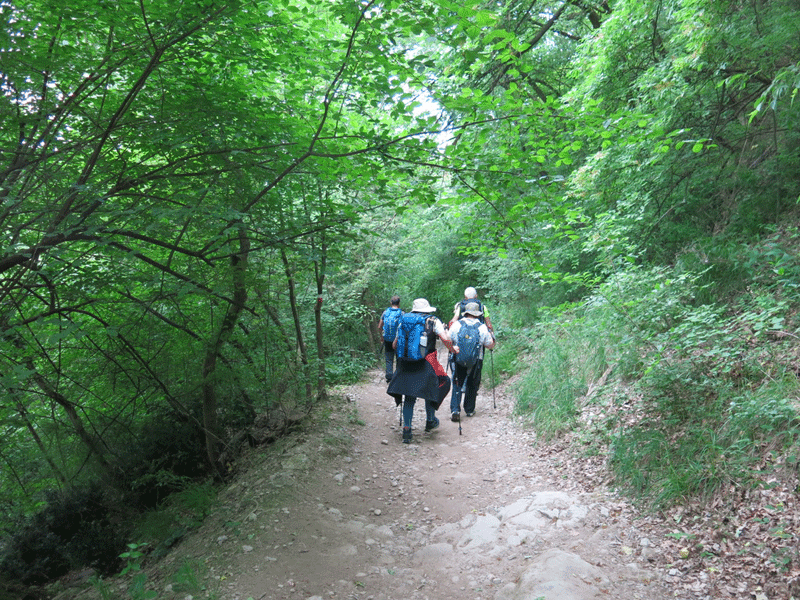
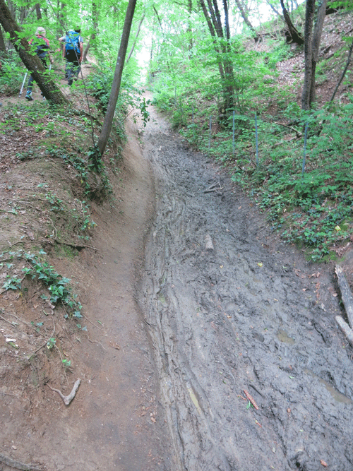
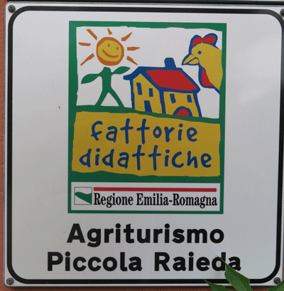
The section between Parca della Chiusa and Sasso Marconi does not offer much as it goes along the valley of the River Reno. There are two options. The traditional path, which at present is very muddy and difficult to walk, or a tarmac route which again is not very attractive. We opted to take a bus from Casalecchio di Reno to Sasso Marconi. From Sasso Marconi we began climbing again until we reached Agriturismo Piccola Raieda at Badolo |
Piazza Medaglie d'Oro to Casalecchio di Reno
| Distance |
Time |
Elevation in meters |
Km |
Elapsed
Hrs-Mins |
Moving
Hrs-Mins |
Gain |
Loss |
Min |
Max |
| 10.91 |
3h35 |
1H58 |
367 |
349 |
44 |
288 |
|
|
|
|
|
|
|
Casalecchio di Reno to Sasso Marconi - By Bus
10 km - 17 mins
Sasso Marconi to Raieda
| Distance |
Time |
Elevation in meters |
Km |
Elapsed
Hrs-Mins |
Moving
Hrs-Mins |
Gain |
Loss |
Min |
Max |
| 11.08 |
4H27 |
2H31 |
552 |
180 |
89 |
530 |
|
|
|
|
|
|
|
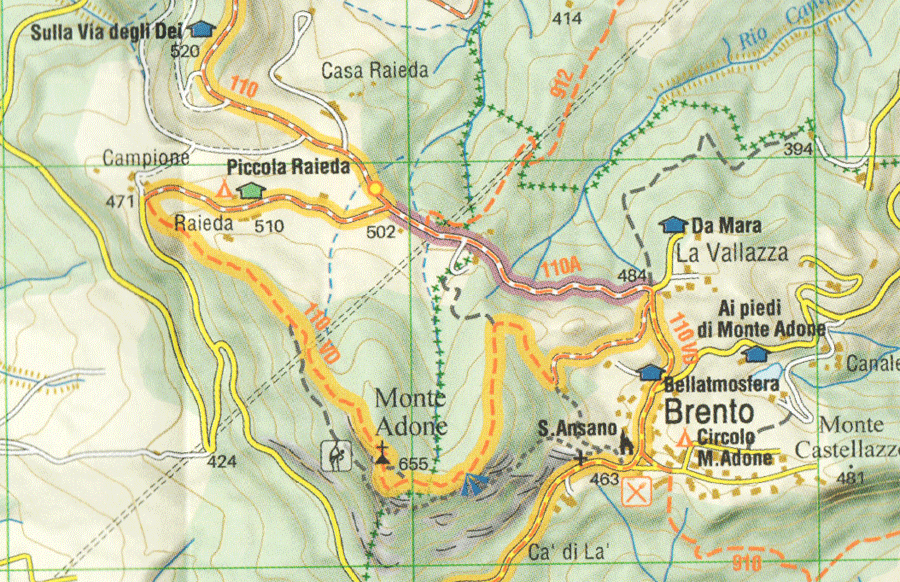
Courtesy of Via degli Dei - L'Escurnoista editora 1:25,000
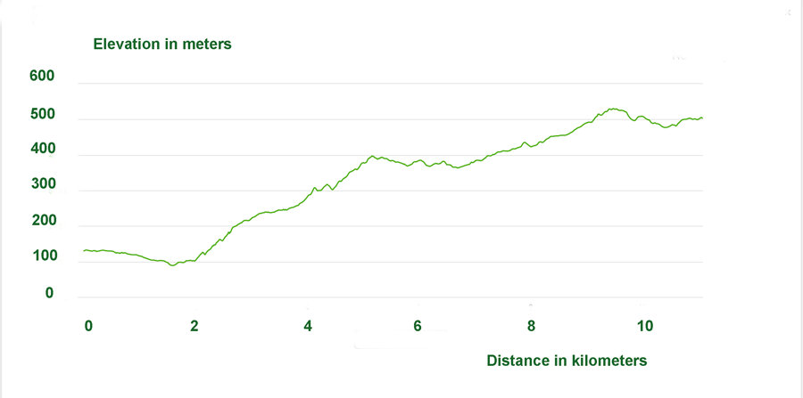
Day 1. Total
| Distance |
Time |
Elevation in meters |
Km |
Elapsed
Hrs-Mins |
Moving
Hrs-Mins |
Gain |
Loss |
Min |
Max |
| 21.99 |
8H02 |
4H29 |
919 |
529 |
44 |
530 |
|
|
|
|
|
|
|
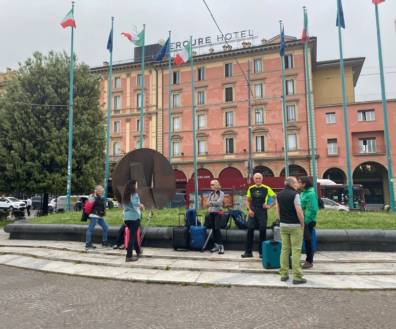
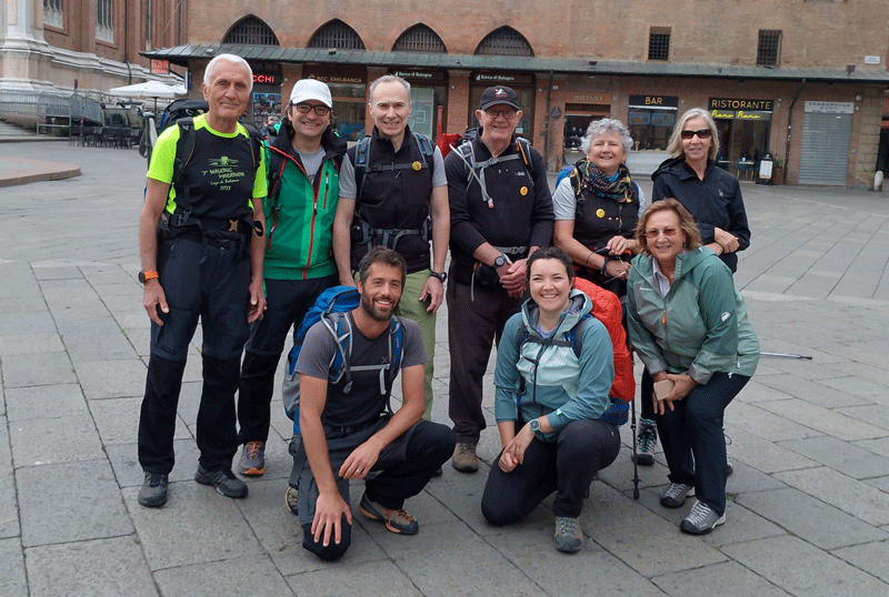
Our meeting place at Piazza Medaglie d'Oro
L to R: Barbara, Agnese, Ornella, Edmundo. Alberto and Ermes
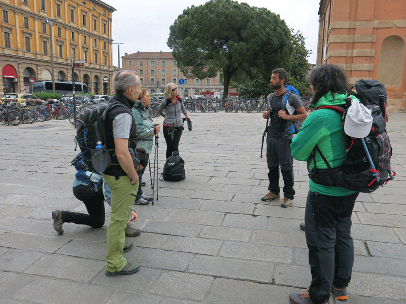
Route instructions by Gianluca, our guide
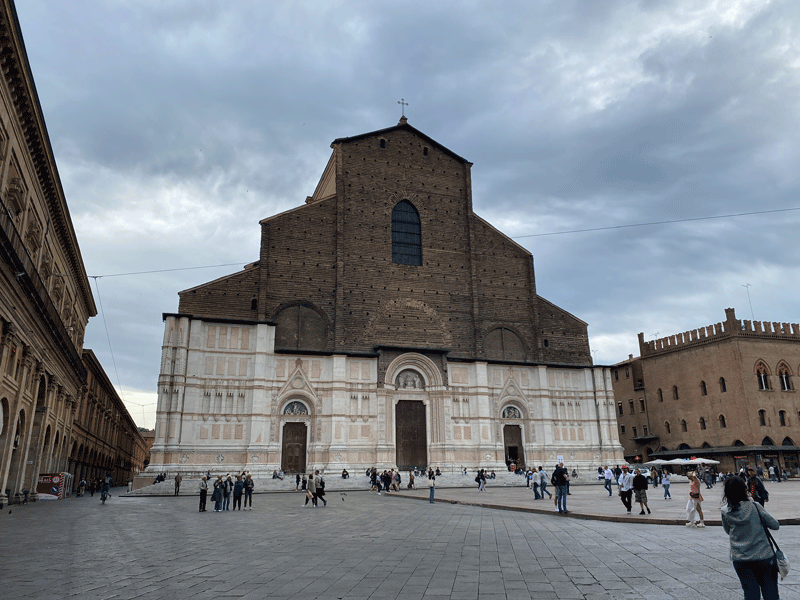
Basilica of San Petronio
L to R: Edmondo,Ermes, Alberto, Michael, Barbara, Ornella
Kneeling: Gianluca, Agnese and Rossella
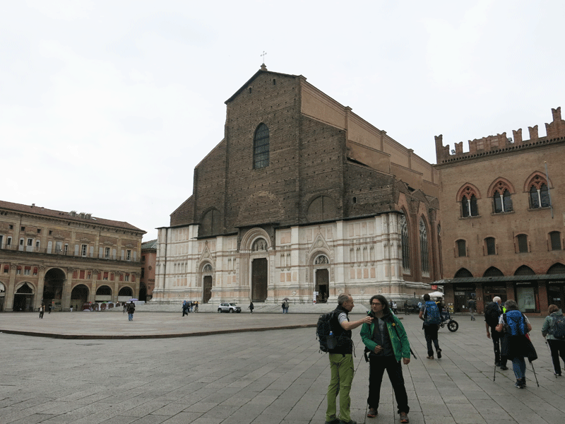
Basilica of San Petronio
The Basilica of San Petronio, dedicated to the city's patron saint, is located in Piazza Maggiore and is the largest and most important church in Bologna.
Its construction began in 1390 under the supervision of Antonio di Vincenzo. In 1514, Arduino degli Arriguzzi suggested a new Latin-cross model that would have been larger than St. Peter's Basilica in Rome but, according to legend, Pope Pius IV blocked its construction and insisted on the erection of the Archiginnasio instead. The façade also remained unfinished, being only partly covered in marble by Giacomo Ranuzzi starting from 1538. The interior, completed in different eras, is divided into three naves, which open onto twenty-two chapels decorated by artists, including Francesco Francia, Lorenzo Costa, Parmigianino and Donato Credi.
Courtesy of www.bolognawelcome.com |
Gianluca and Edmundo
Via Val D'Aposa
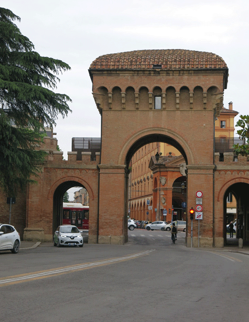
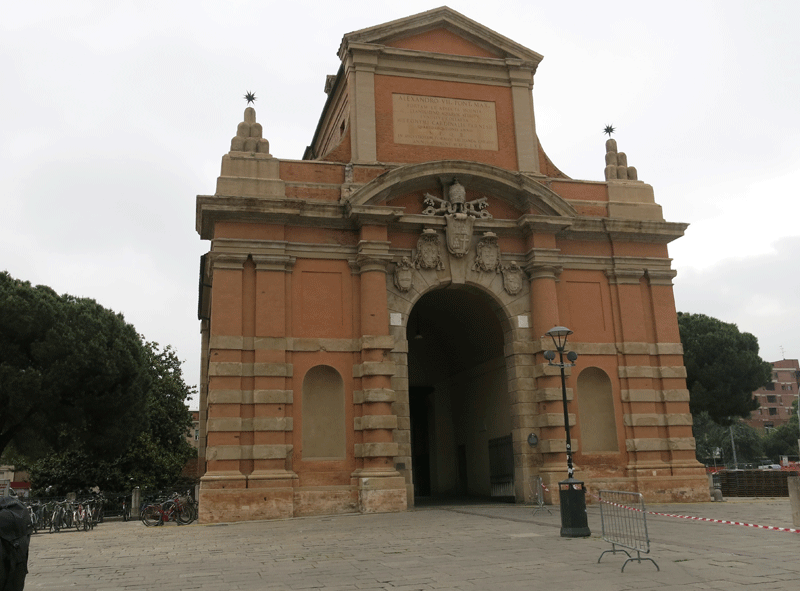
Porta Saragozza.... 3.55 km in 56 minutes to this point
The Porta Saragozza of Bologna was one of the gates or portals in the medieval walls of this city.
The gate was built in the 13-14th centuries, and by 1334 it was provided with a drawbridge crossing a moat. It was not used much until 1674, when the long Portico di San Luca was built from the center of town to the Basilica della Beata Vergine di San Luca, used in yearly procession of an icon. From then on it became also known as the “Porta Sacra” or the “Porta dei pellegrini” (Holy Gate and Gate of Pilgrims) for its placement in the route towards the Sanctuary of San Luca.
In 1859, concordant with a rising movement to restore medieval remnants in Italian cities, the architect Giuseppe Mengoli, replaced the mediaeval cassero with the present one by connecting it with two crenellated arches to the two lateral cylindrical great towers, giving it its present castle-like form.
Courtesy of Wikipedia |
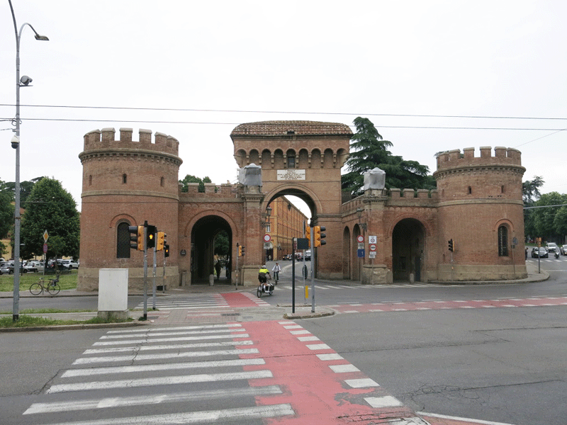
Porta Saragozza
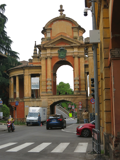
Arco del Melancelo
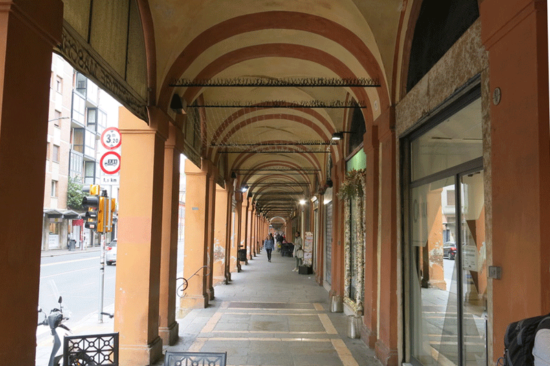
| Arriving at the Arco del Meloncello we begin to walk along the longest portico in the world: the one that leads to the Sanctuary of the Blessed Virgin of San Luca . |
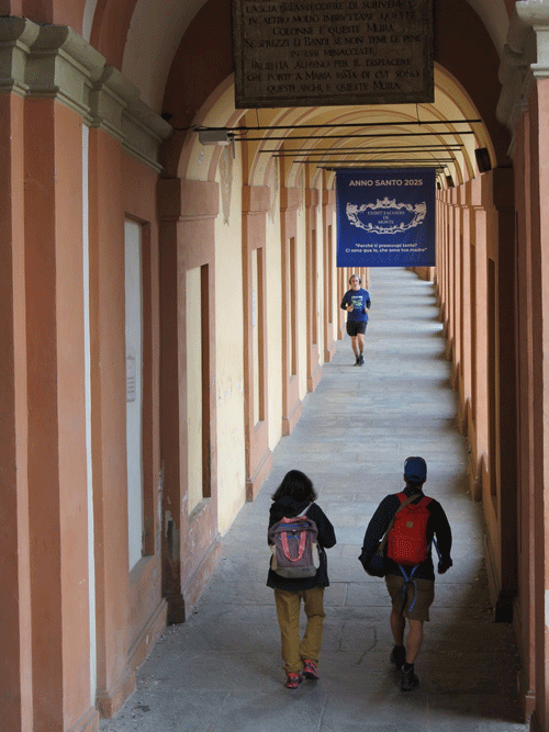
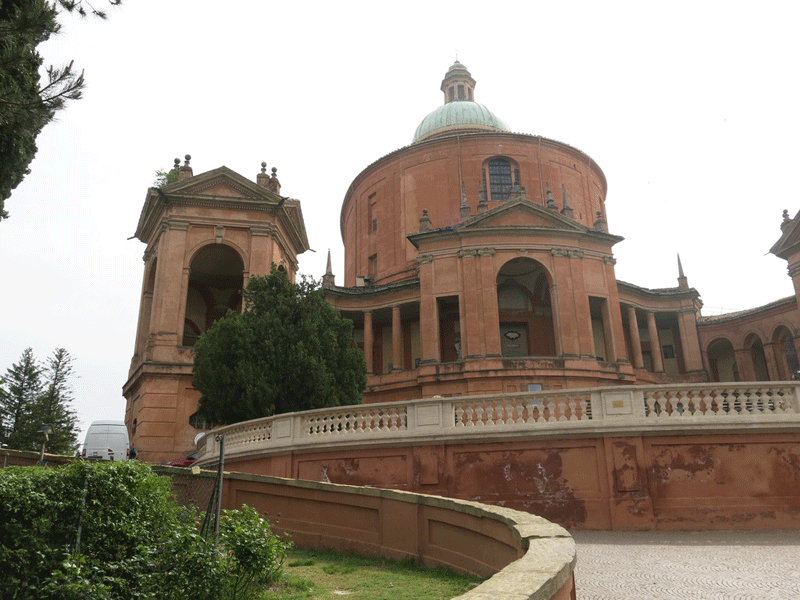
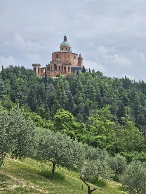
The Sanctuary of San Luca, located on Colle della Guardia, has been the symbol of Bologna as well as a place of religious worship for centuries. It is connected to the city centre by a road that, starting from Porta Saragozza, unwinds for four kilometres with a portico that boasts over 600 archways and is the longest in the world. Together with the other city porticoes, it was included in UNESCO World Heritage Site list in 2021.
The portico started being built in 1674 and, during Ascension week, a procession has been walking along it carrying the Byzantine Madonna with Child to the Cathedral since 1433. The Sanctuary church was, however, built later in the 18th century to replace a previous 15th-century construction.
The sanctuary offers marvellous views over the surrounding landscape. In addition, the panoramic terrace opened in 2017 at a height of 42 metres above Colle della Guardia (300 m asl), enables visitors to admire a unique 180° view of Bolognafrom the hills to the centre stretching out as far as Casalecchio di Reno.
Courtesy of www.bolognawelcome.com |
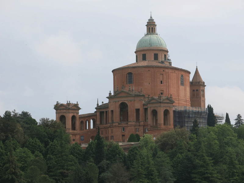
Sanctuary of the Blessed Virgin of San Luca
8.25 km in 2H23

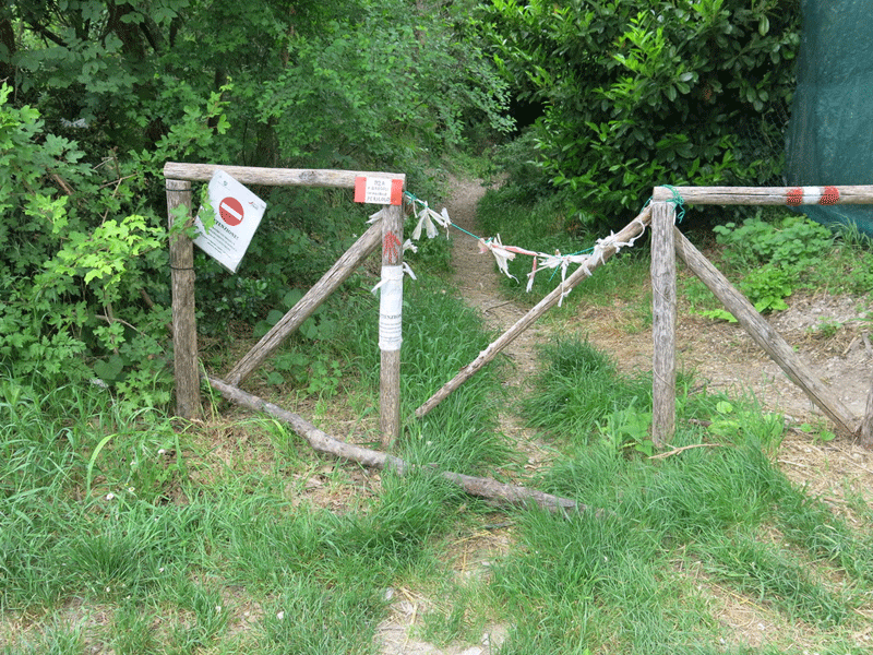
The path of Bregoli that descends to Parco Talon (Casalecchio di Reno).
CAI volunteers repairing the trail
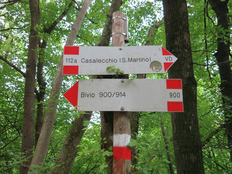
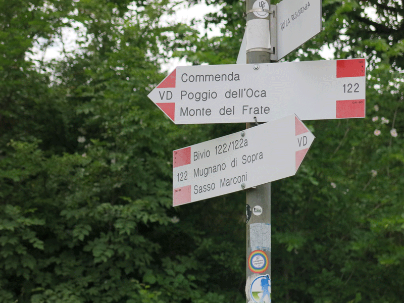
Parco della Chiusa
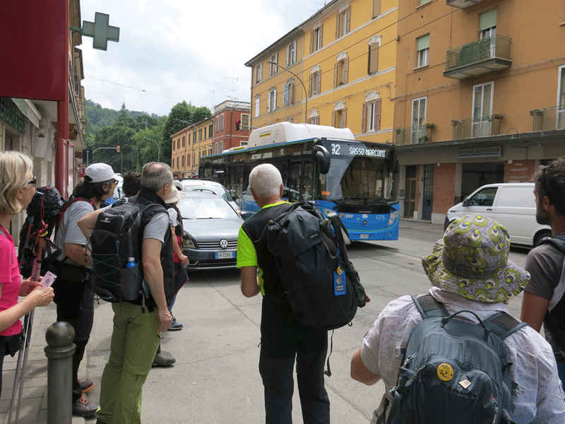
Casalecchio di Reno to Sasso Marconi - By Bus
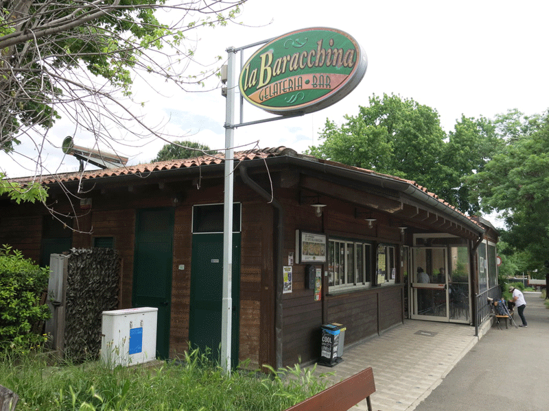
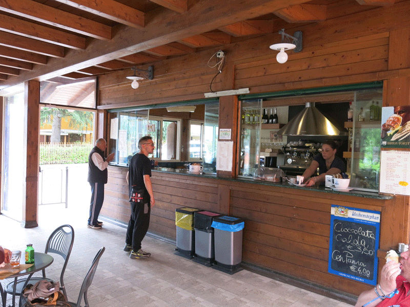
la Baracchina..... our lunch stop
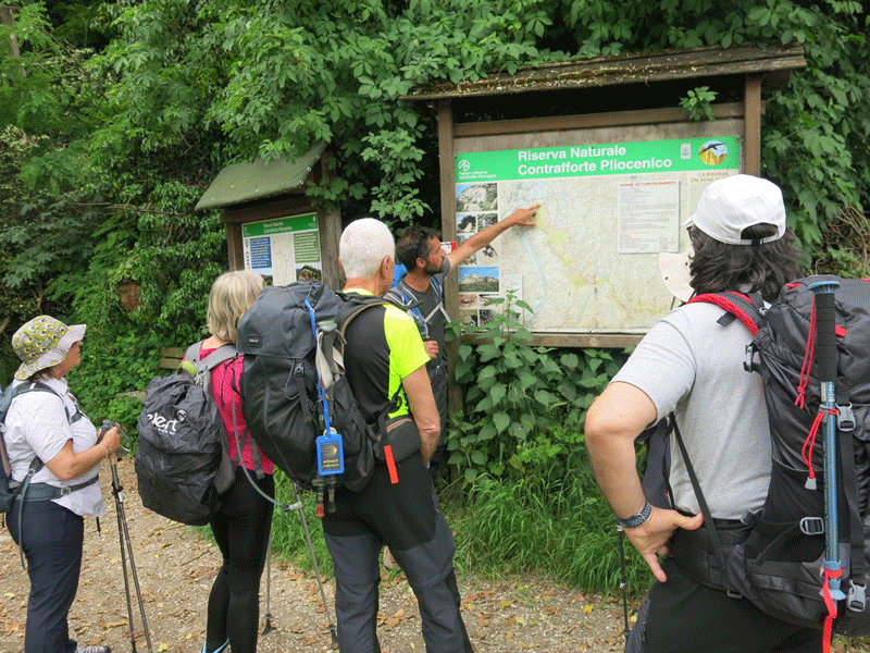
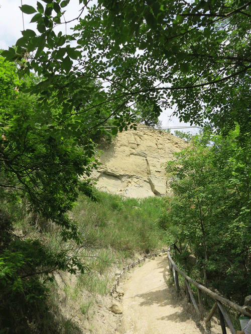
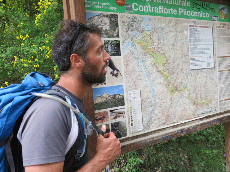
Riserva Naturale Contrafforte Pliocenico
| The earliest evidence of stable settlements in the Contrafforte Pliocenico area, dating to the Bronze Age, was found at Mount Adone. Various archaeological findings from the Villanovan and Etruscan periods also exist. In Roman times, a 20 km-long narrow tunnel was dug for the Augustan aqueduct delivering water to Bologna from the Setta Stream and its path crossed through the nature reserve's territory. |
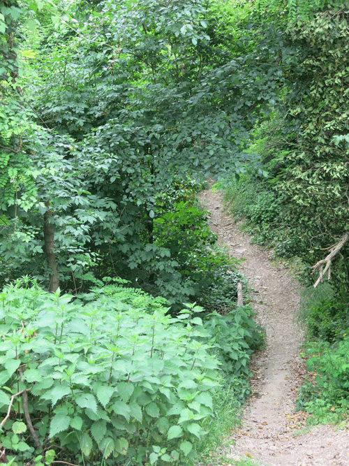
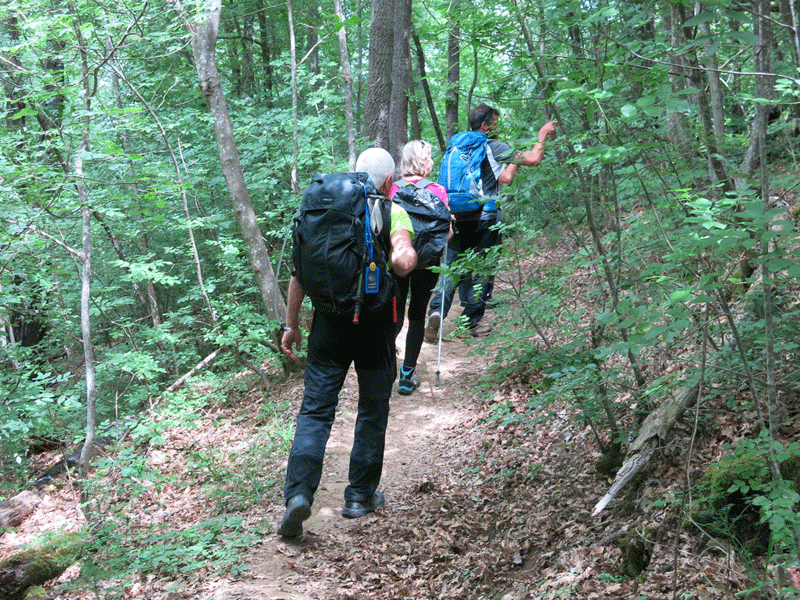
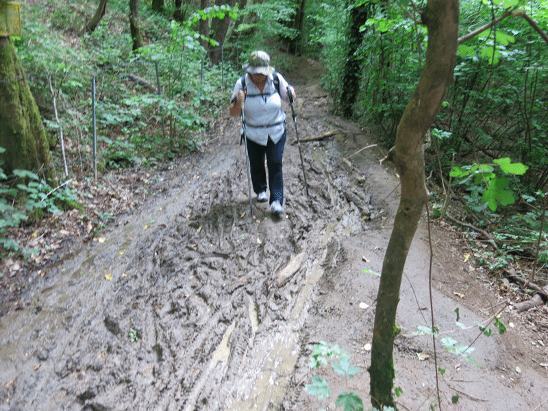
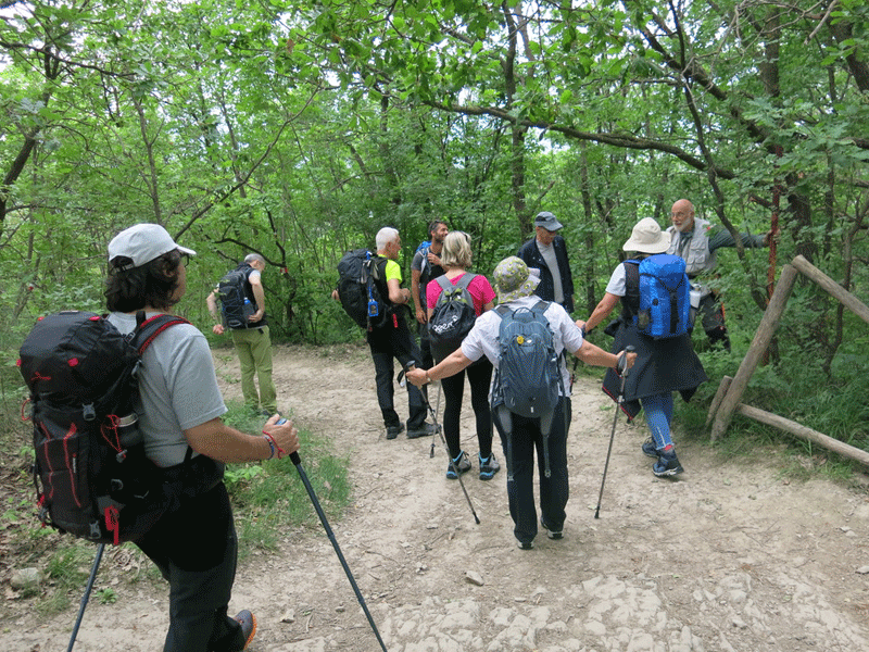
Rather muddy underfoot
Gianluca explaining the route
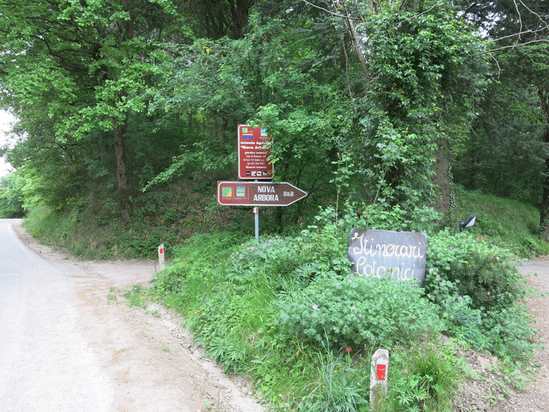
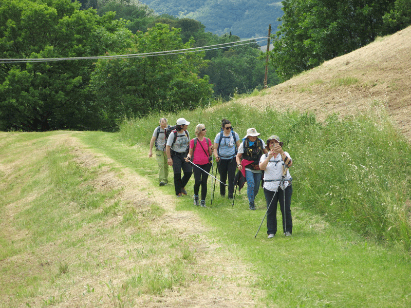
Passing B&B Nova Arbora
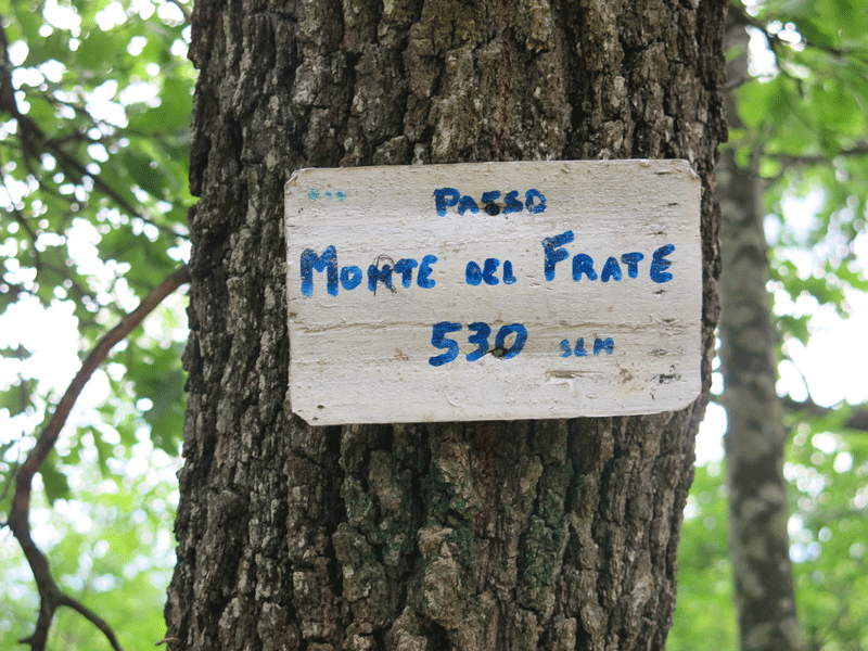
Monte del Frate 530 m, the highest point of the day
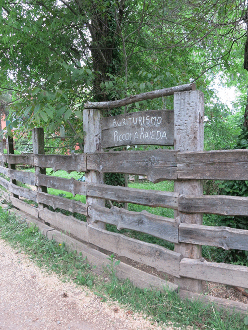
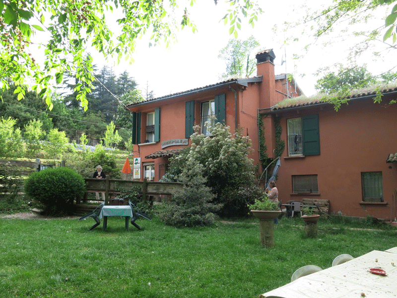
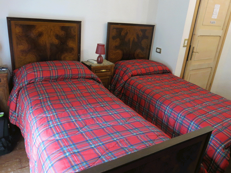
Agriturismo Piccola Raieda
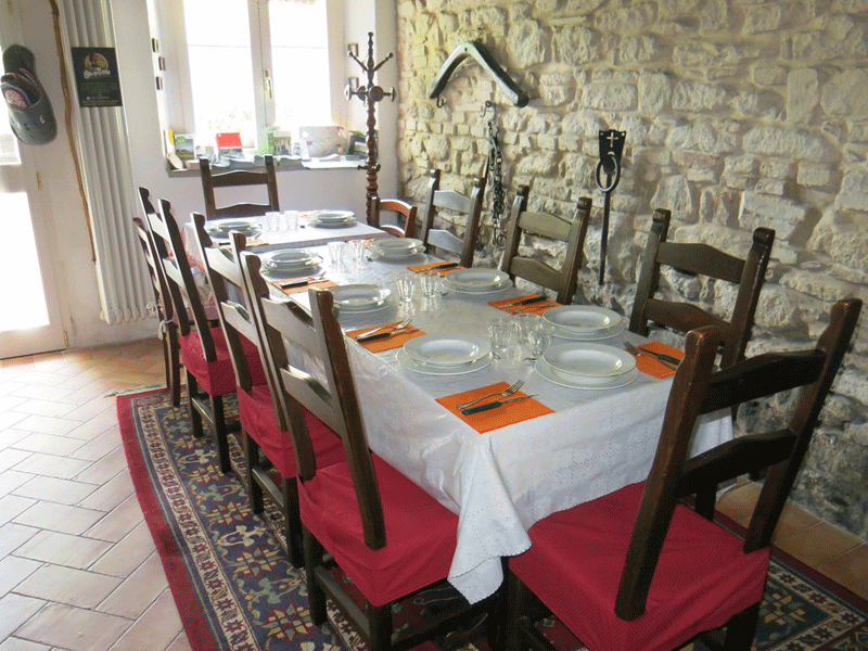
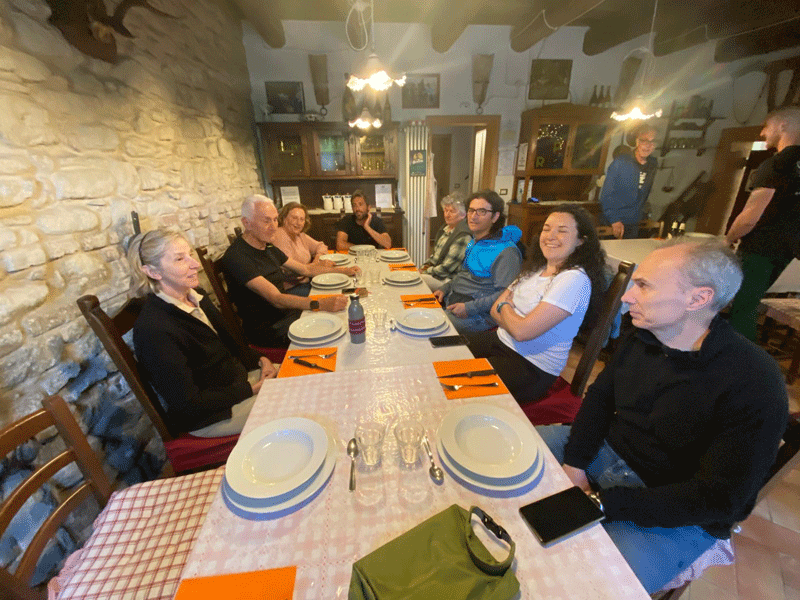
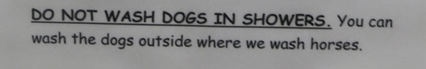
Not a sign you will see in many places of accommodation!
|