| About | Home | Recent Activities |
|
Hiking Statistics
|
||
|
Narrowboating |
River Cruises |
Travel |
| Cornwall | Morganeering | Copyright |
Tuesday 26th August 2025
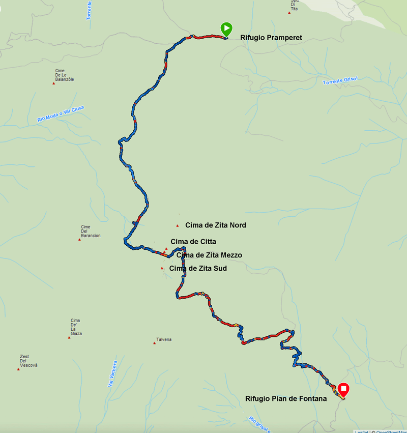
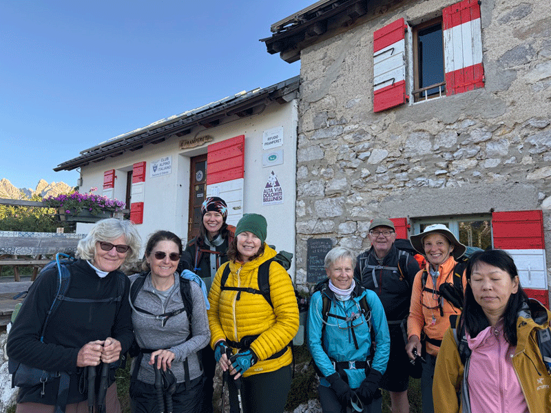
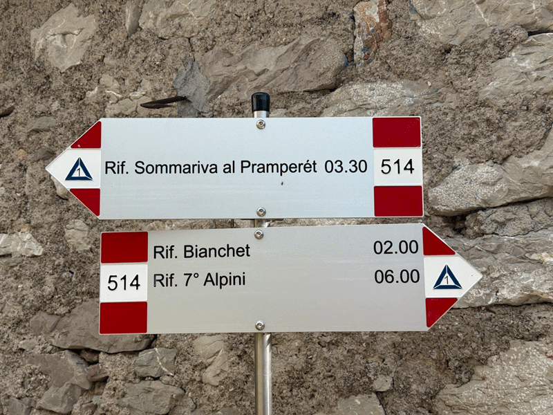
Rifugio Pramperet to Rifugio Pian de Fontana
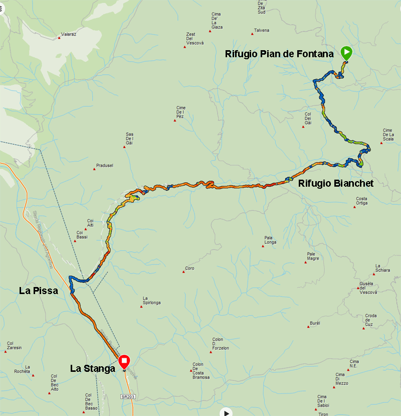
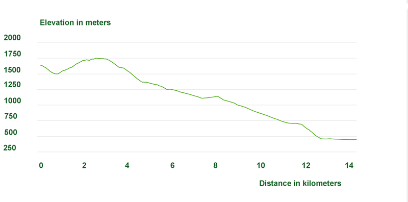
Rifugio Pian de Fontana to La Stanga
Total - Rifugio Pramperet to La Stanga
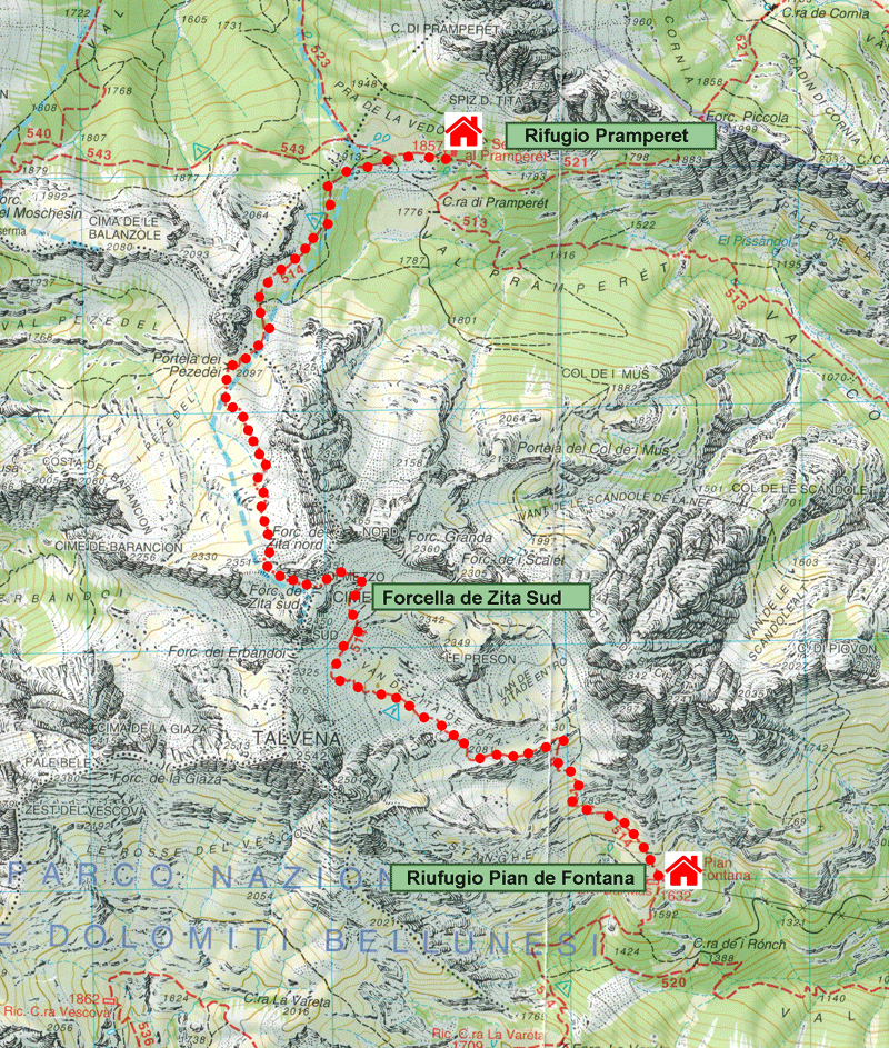
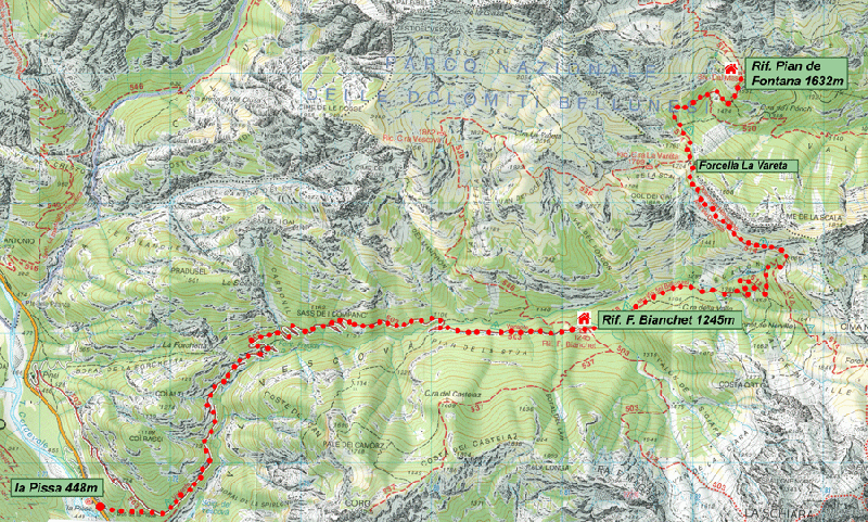
Base map courtesy of Tabacco maps
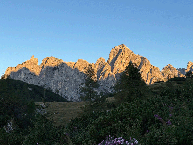
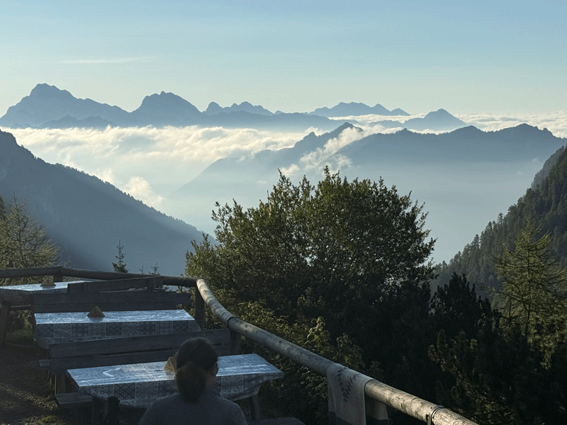
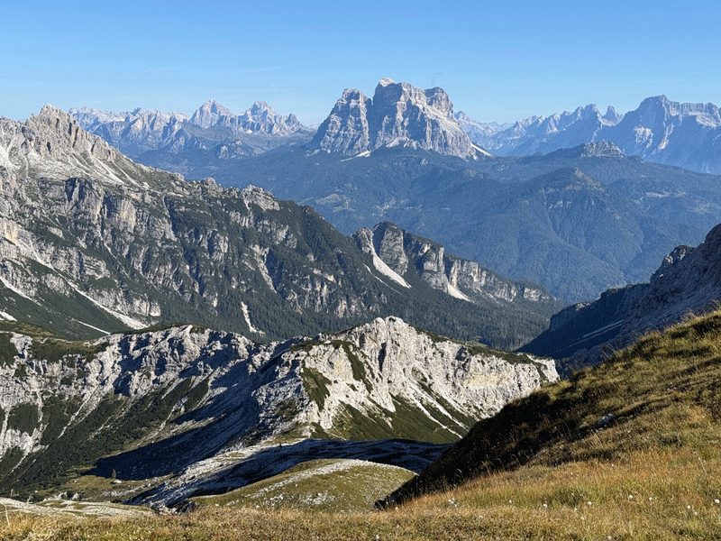
Sunrise
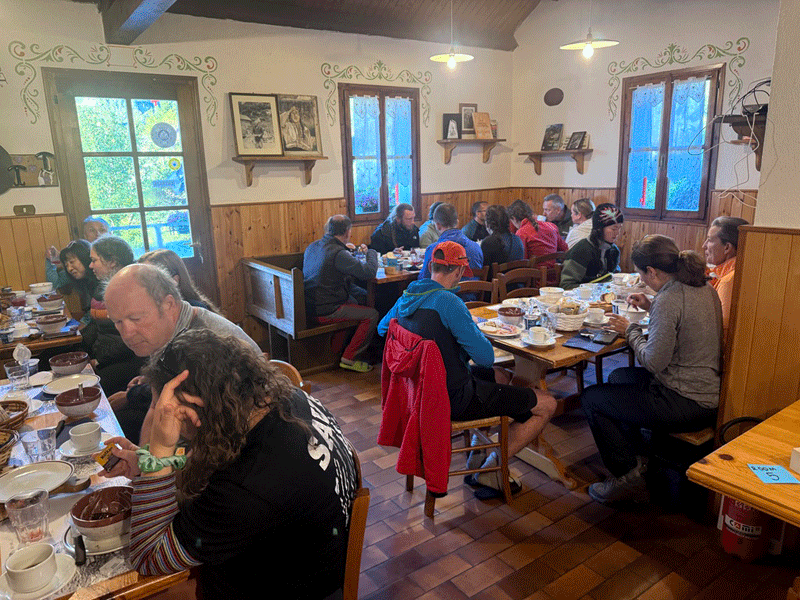
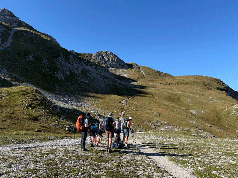
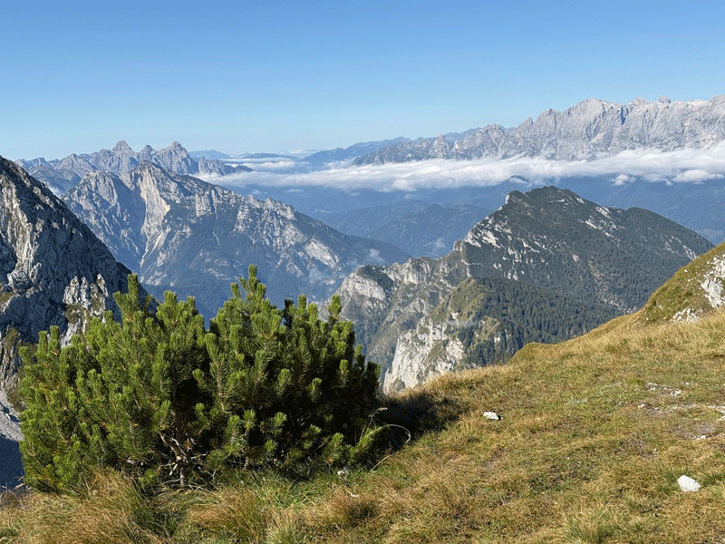
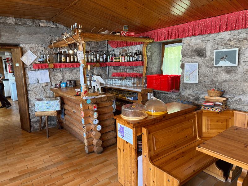
Breakfast at Rifugio Pramperet
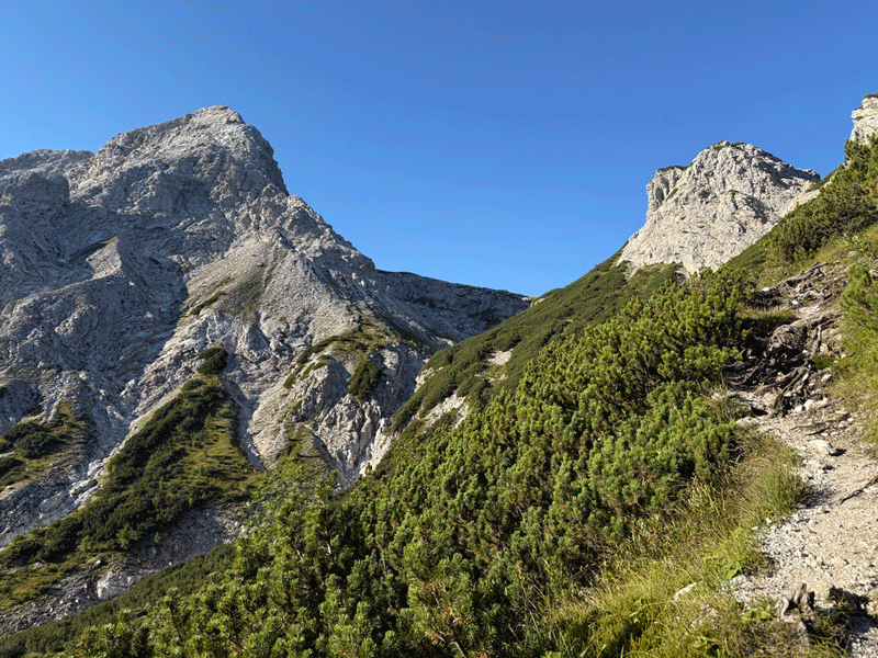
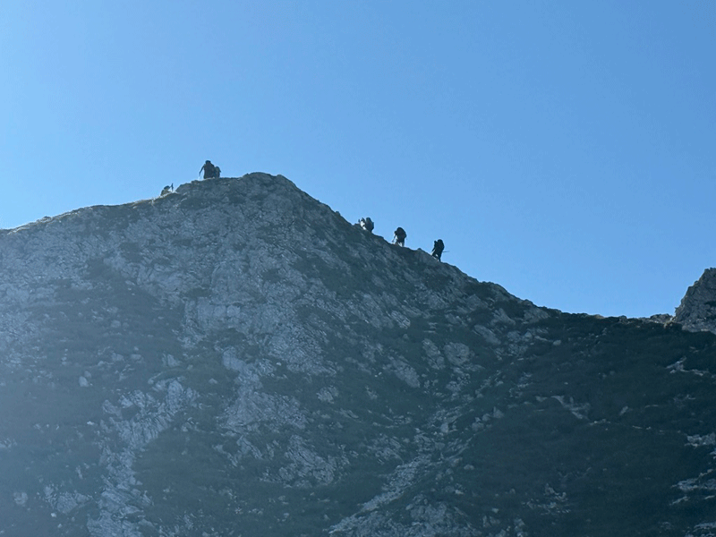
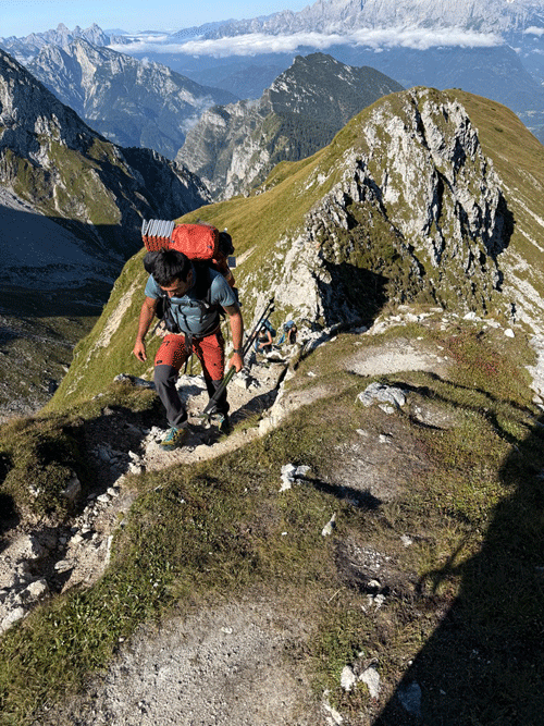
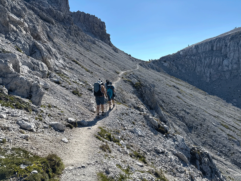
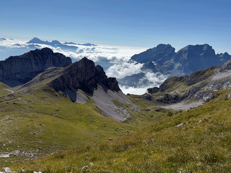
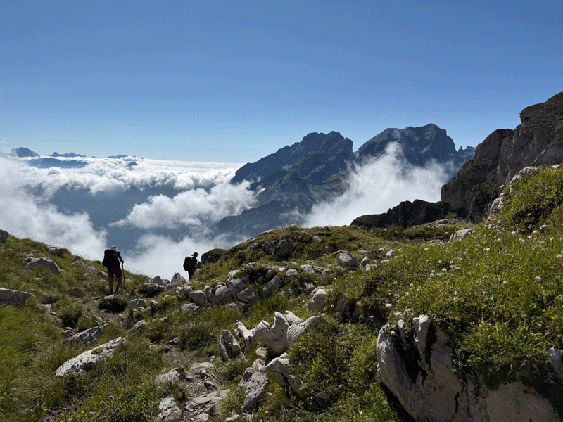
View ahead; people climbing Cime de Zita
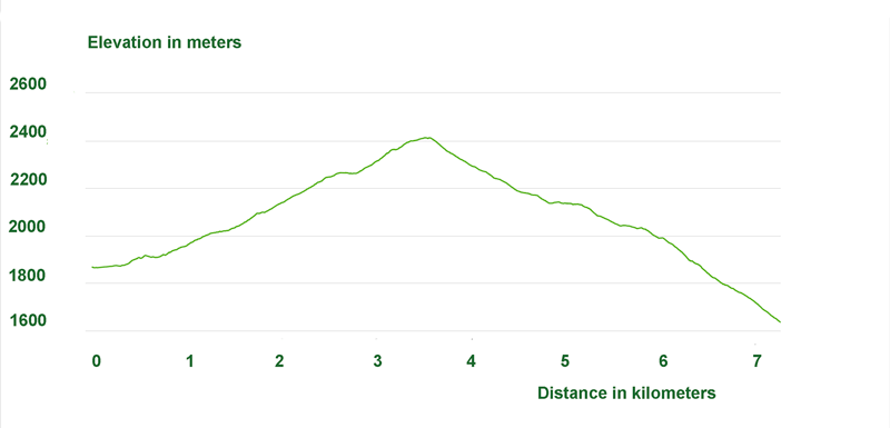
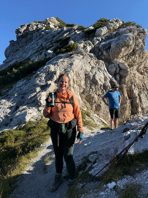
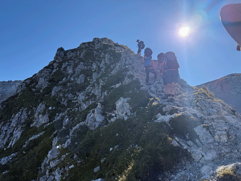
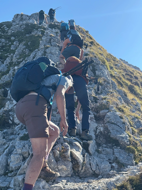
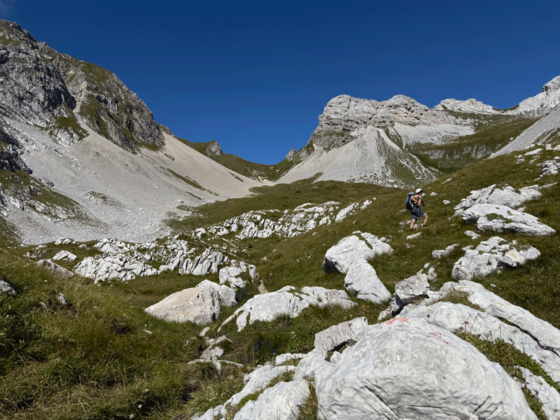
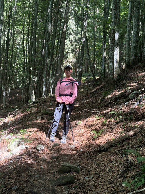
By this time we had covered 3.5 km in 2H10
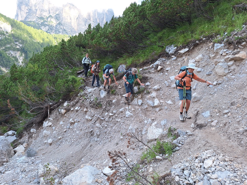
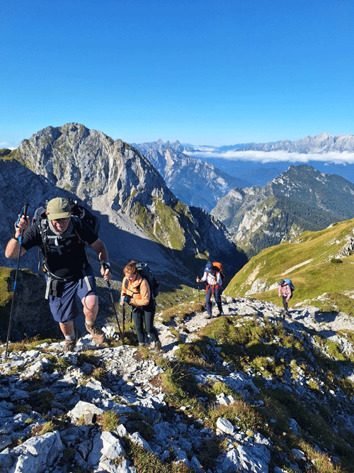
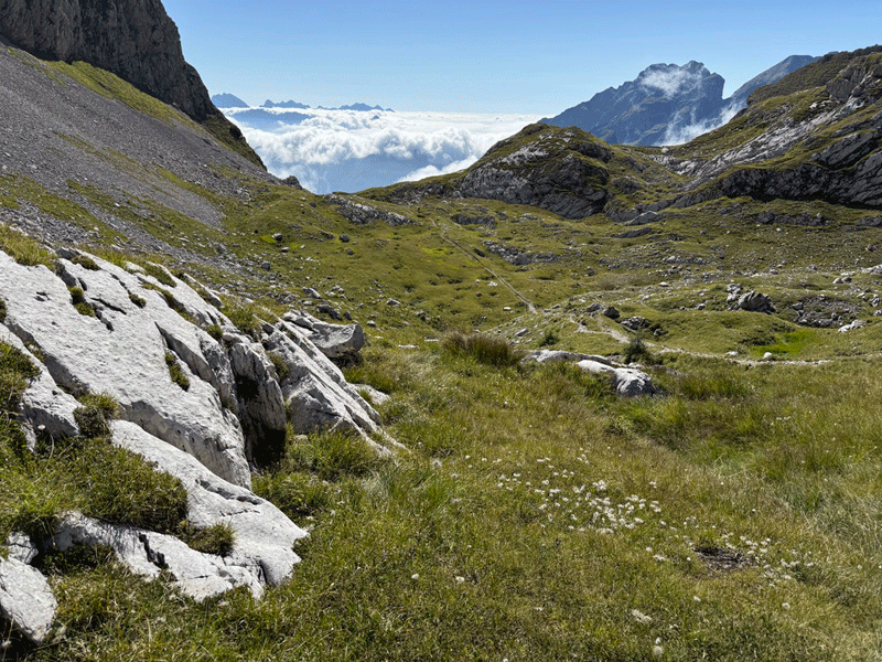
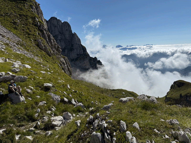
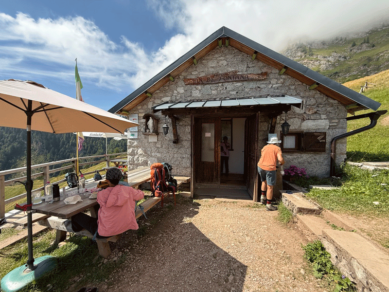
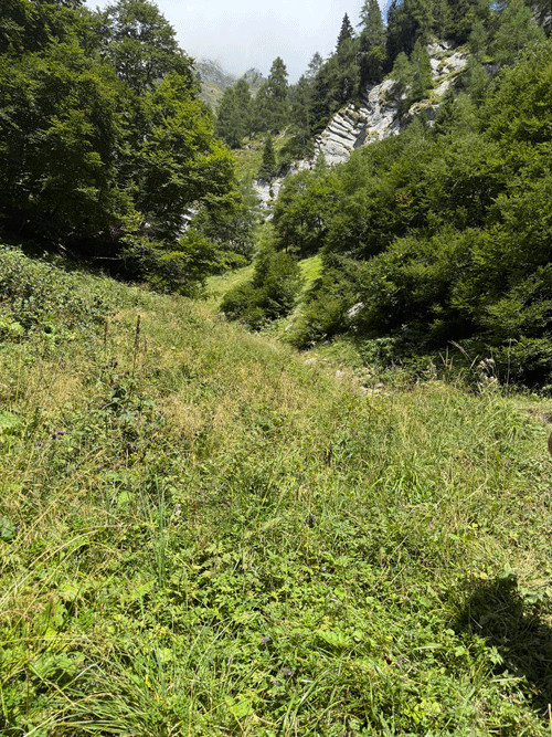
Heading towards Rifugio Pian de Fontana
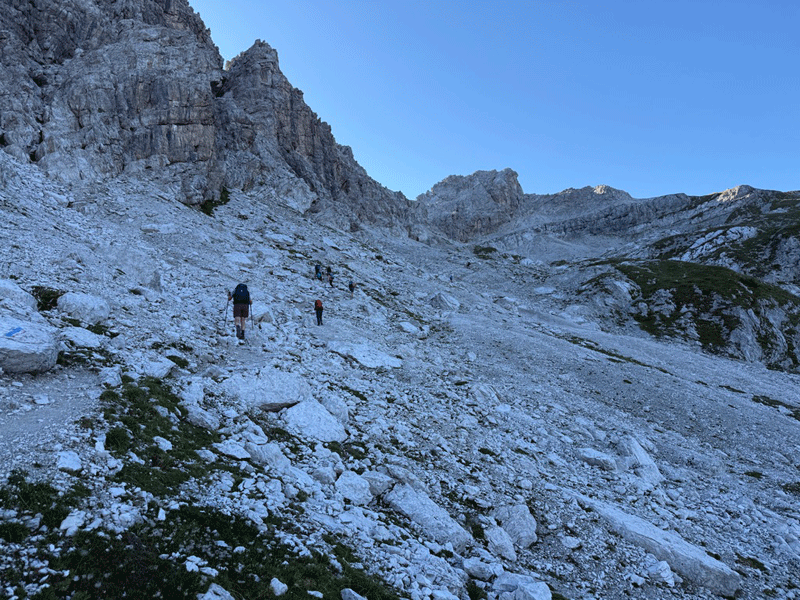
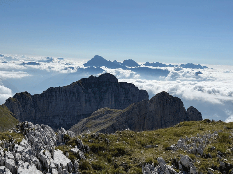
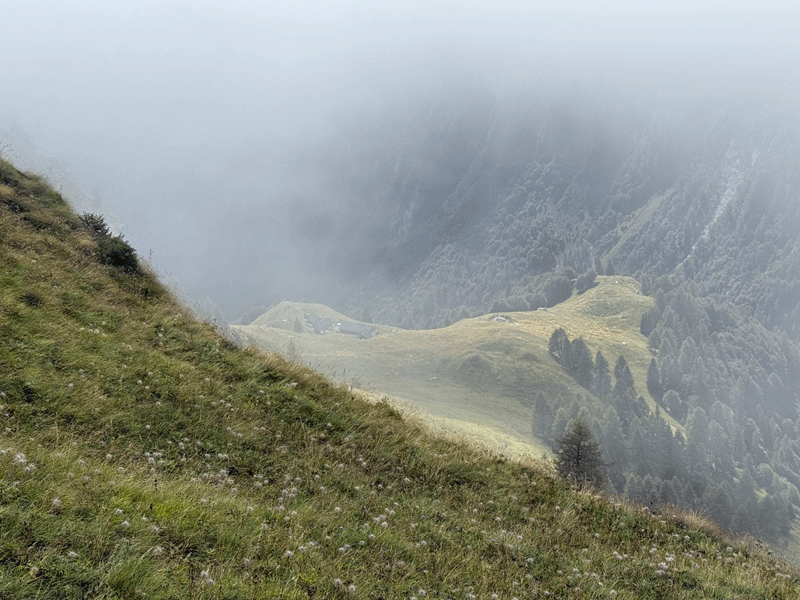
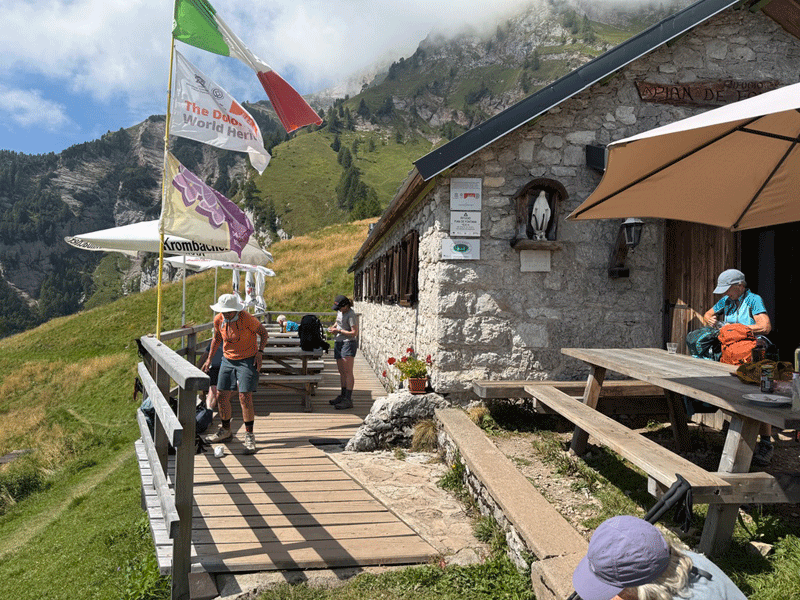
At last, Rifugio Pian de Fontana comes into sight..... but there is still a lot of descent to tackle.
Base map courtesy of Tabacco maps
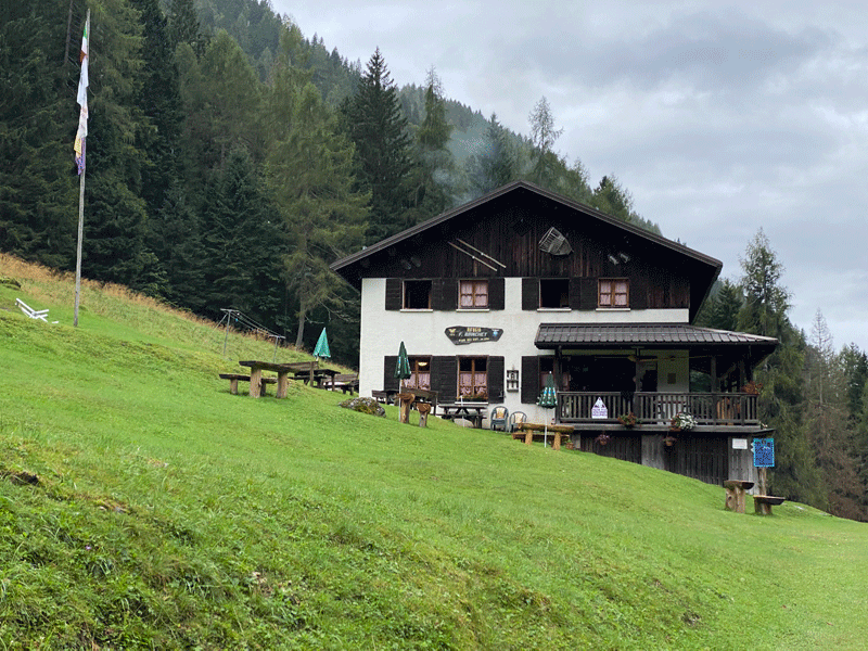
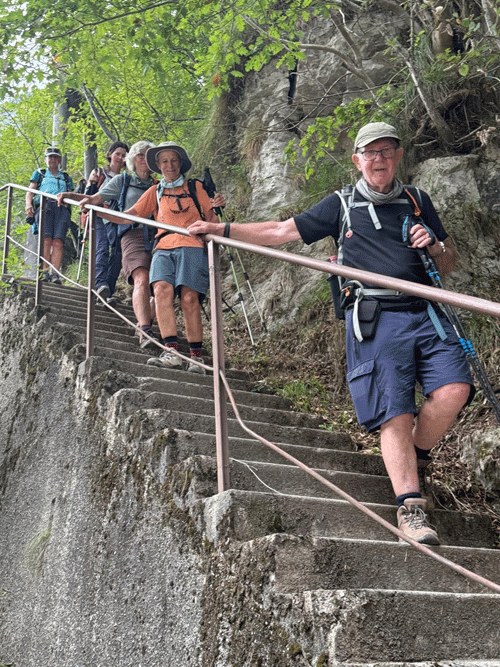
Rifugio Bianchet
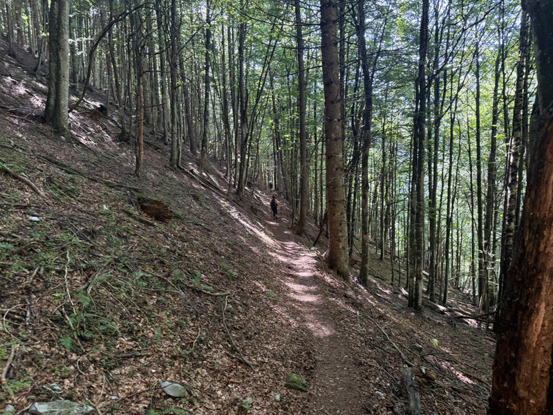
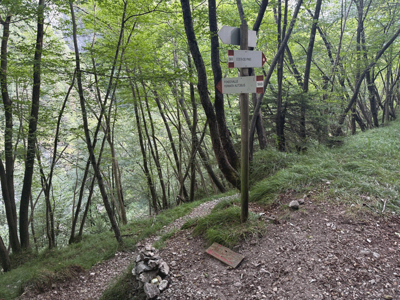
The final stage, a cut-down to the road
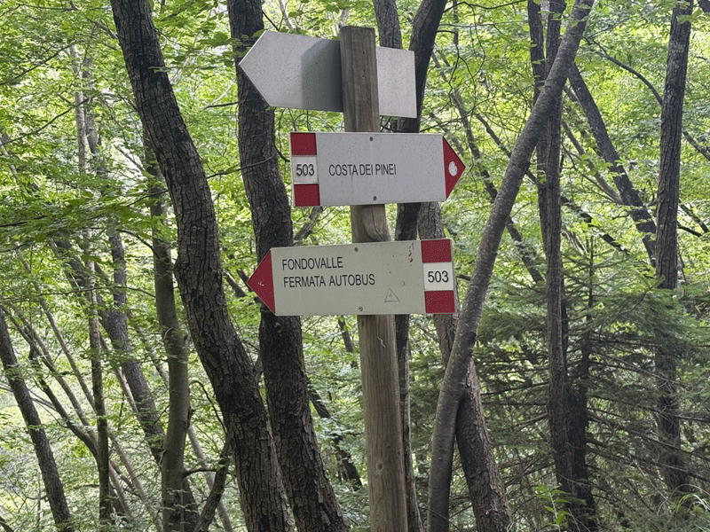
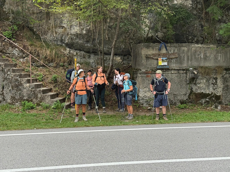
Fermata Autobus
La Pissa
We were aiming for the 17-20 hrs bus, but it was nearly 18-00 hrs by the time we reached La Pissa.
|
||||||||||||||||||||||||||||||||||||||||||||||||||||||||||||||||||||||||||||||||||||||||||||||||||||||||||||||||||||||||||||||||||||||||||||||||